
Natural Resources

Climate Resilience
Fundamental Research


Featured
Stay up to date on the Institute's news and events.

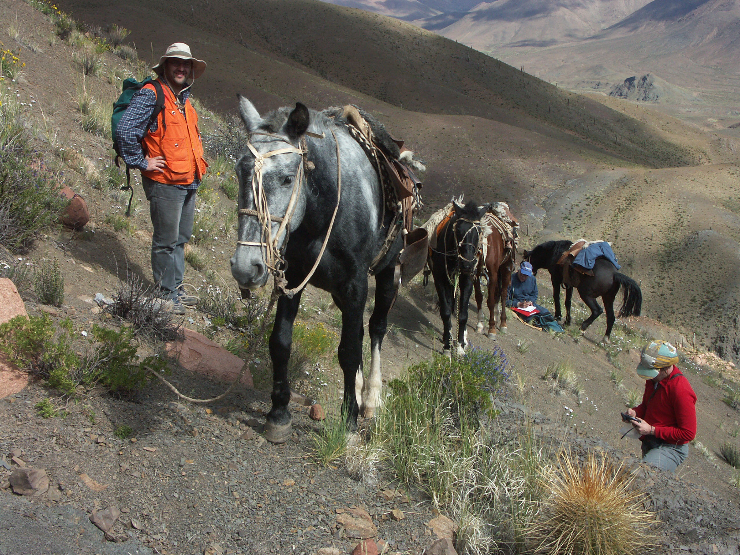
Seguendo i percorsi dell’acqua in un Artico che cambia
Con il ritiro dei ghiacciai e il degrado del permafrost, i sistemi idrici dell’Artico stanno cambiando in modi che non…

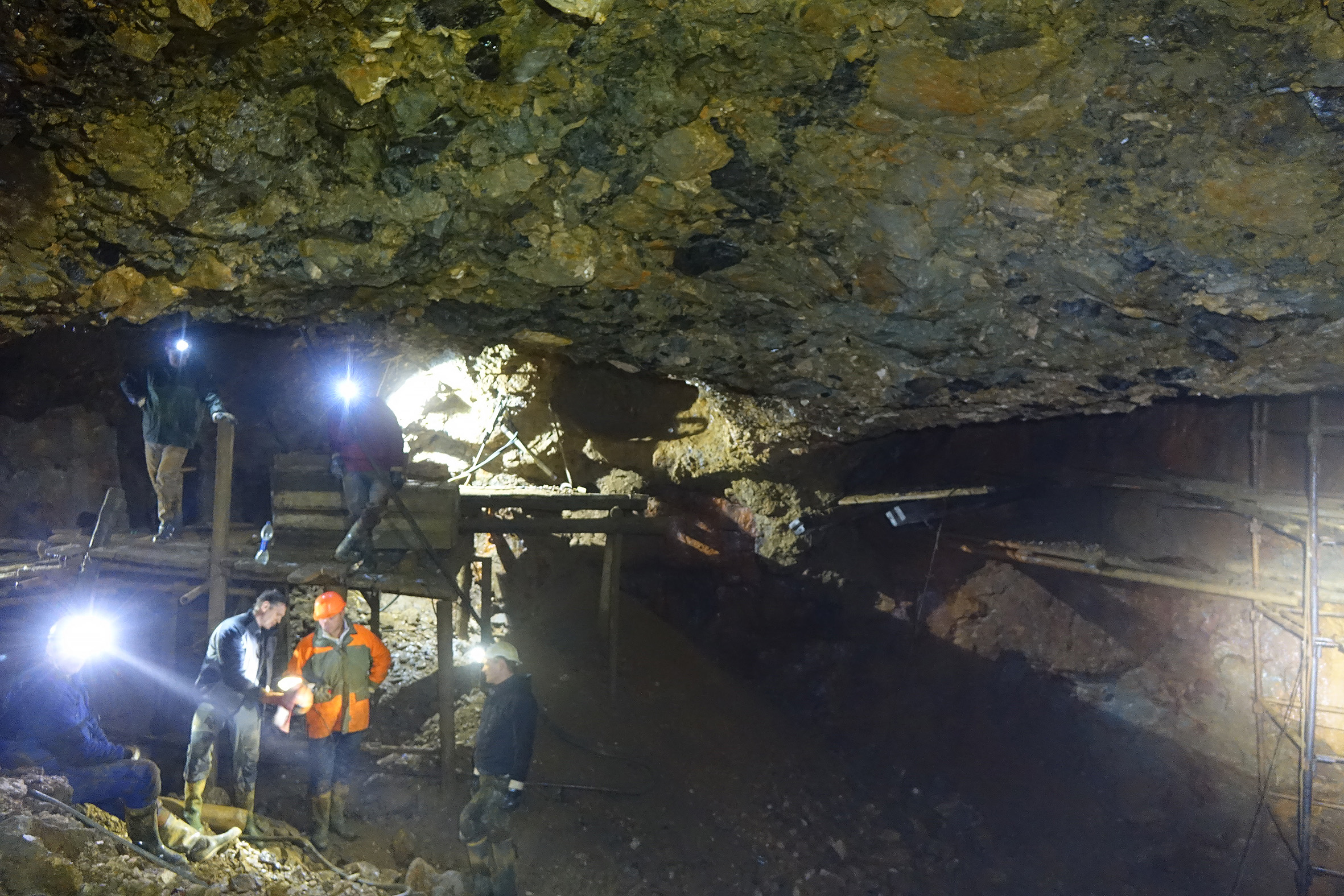
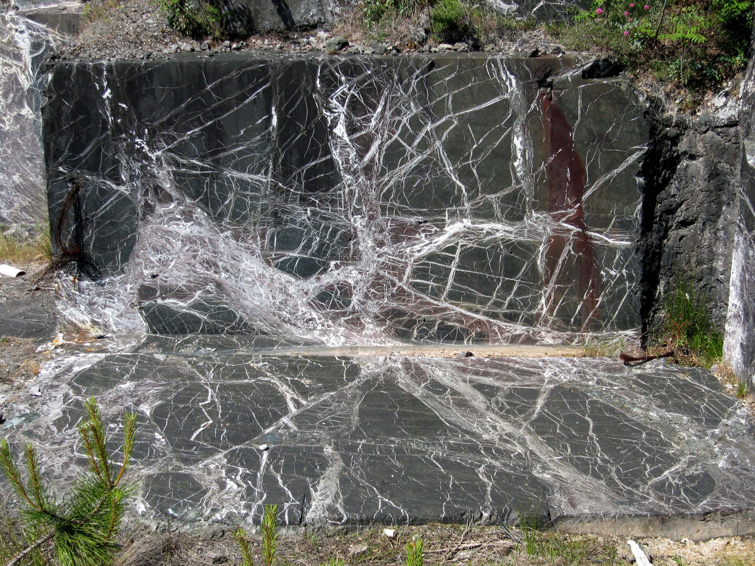
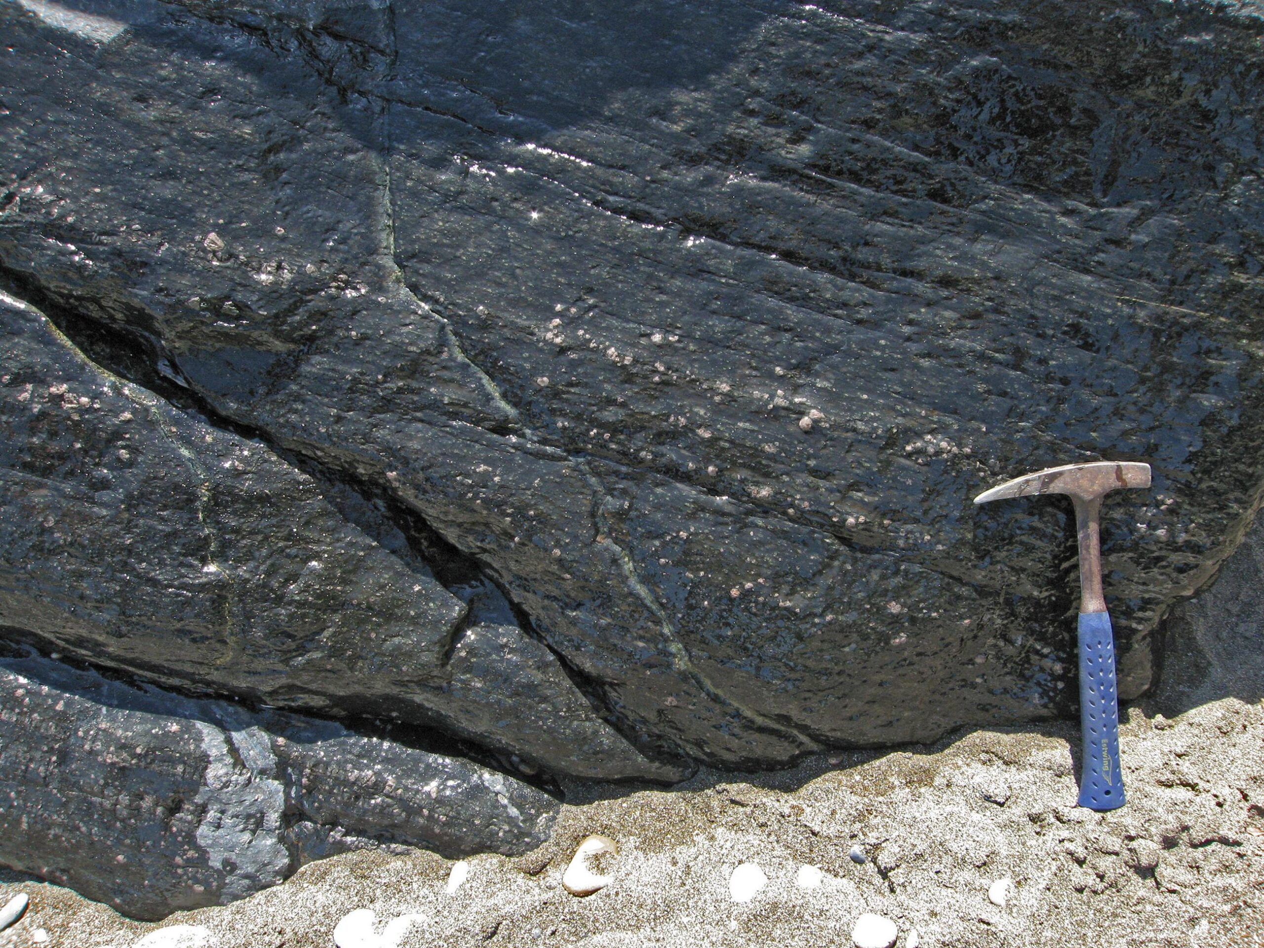
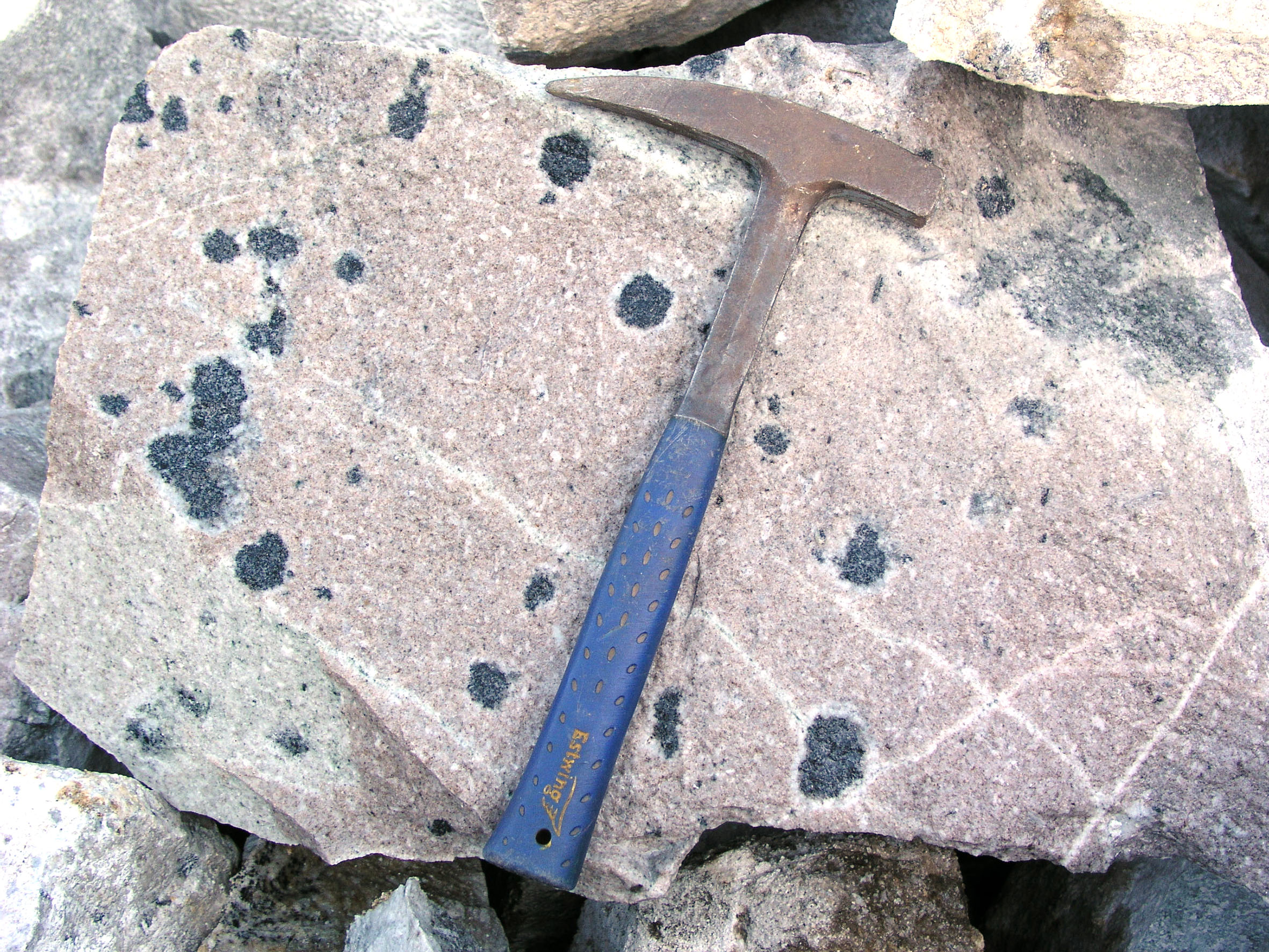
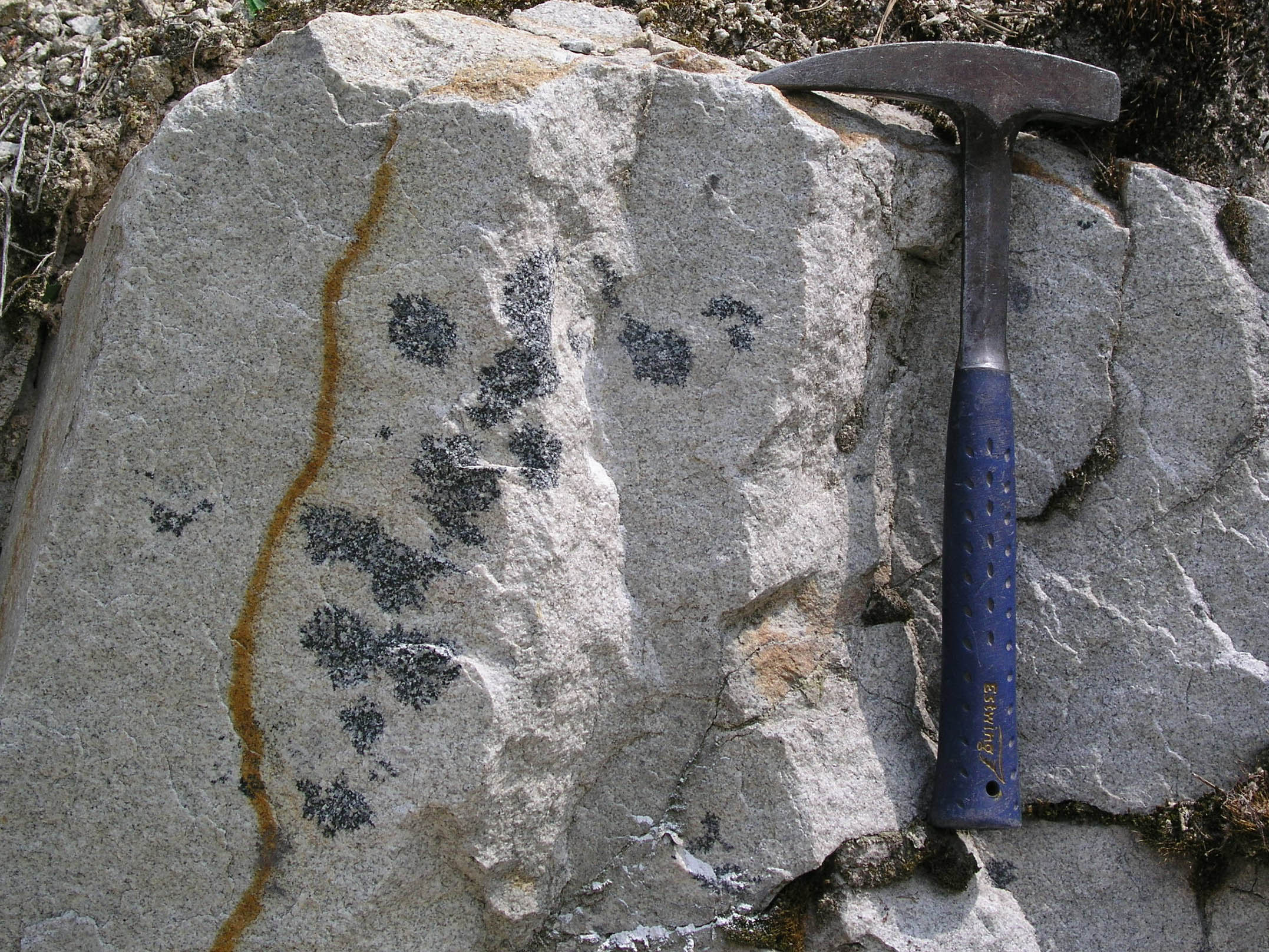
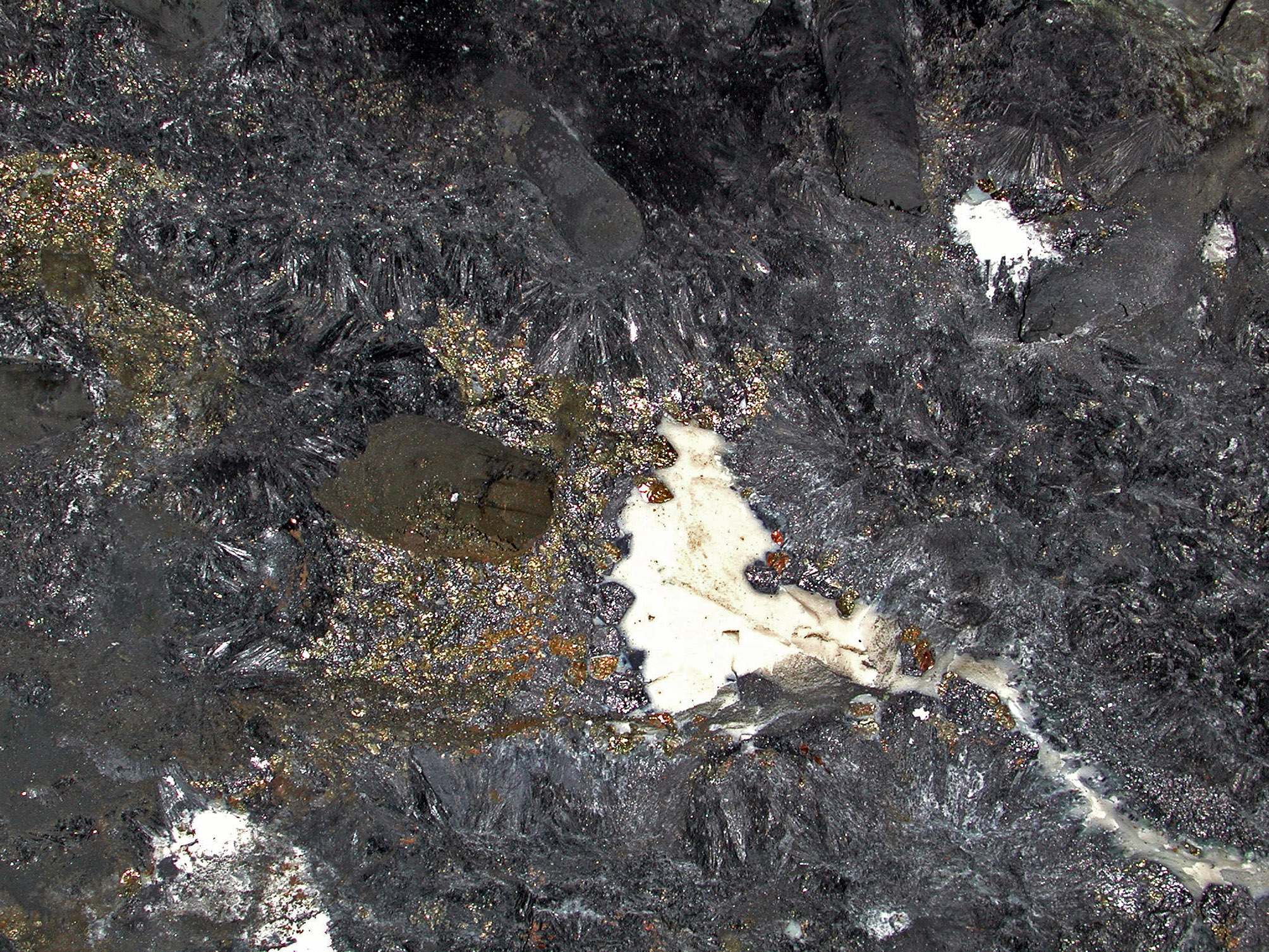
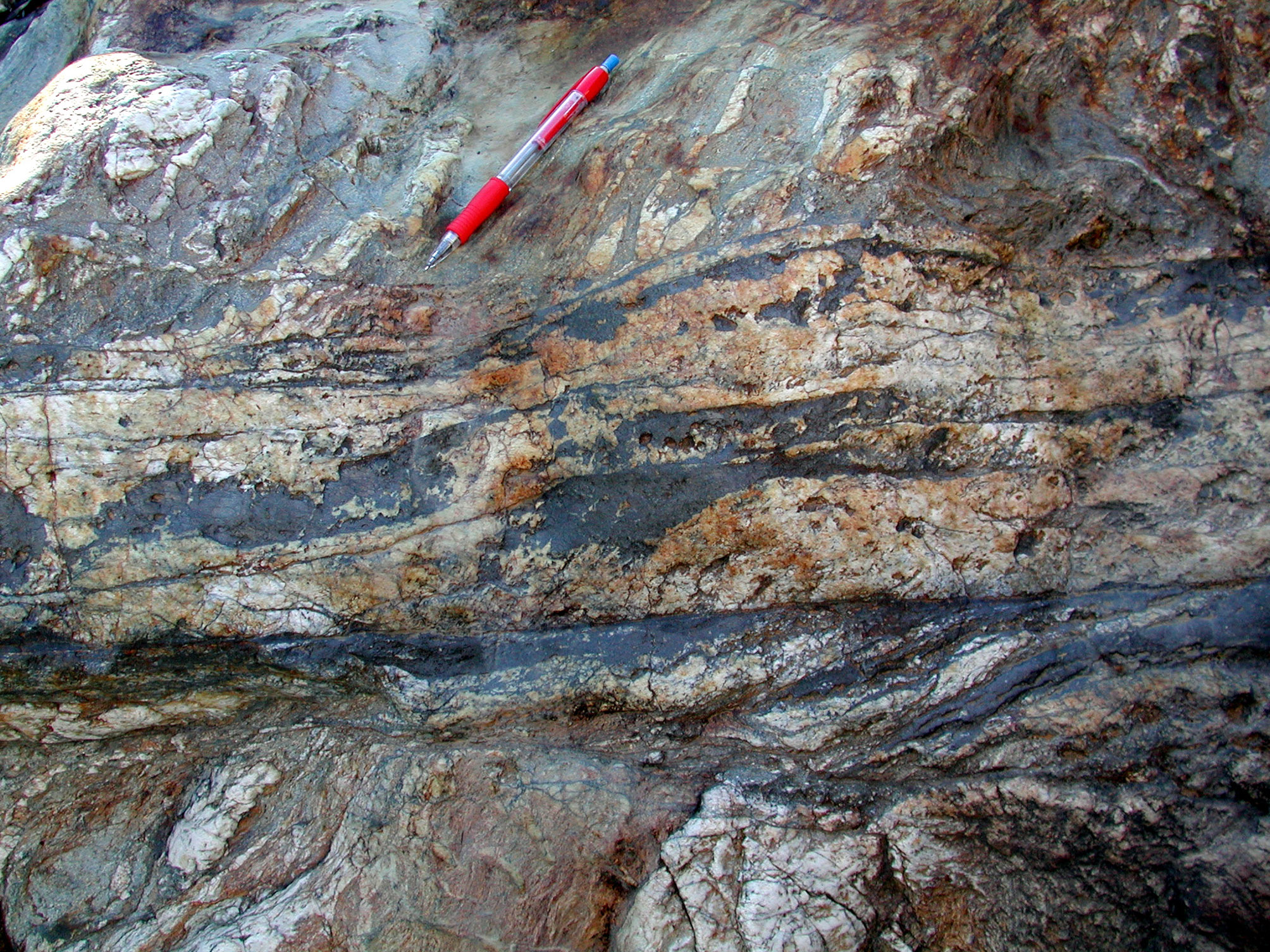
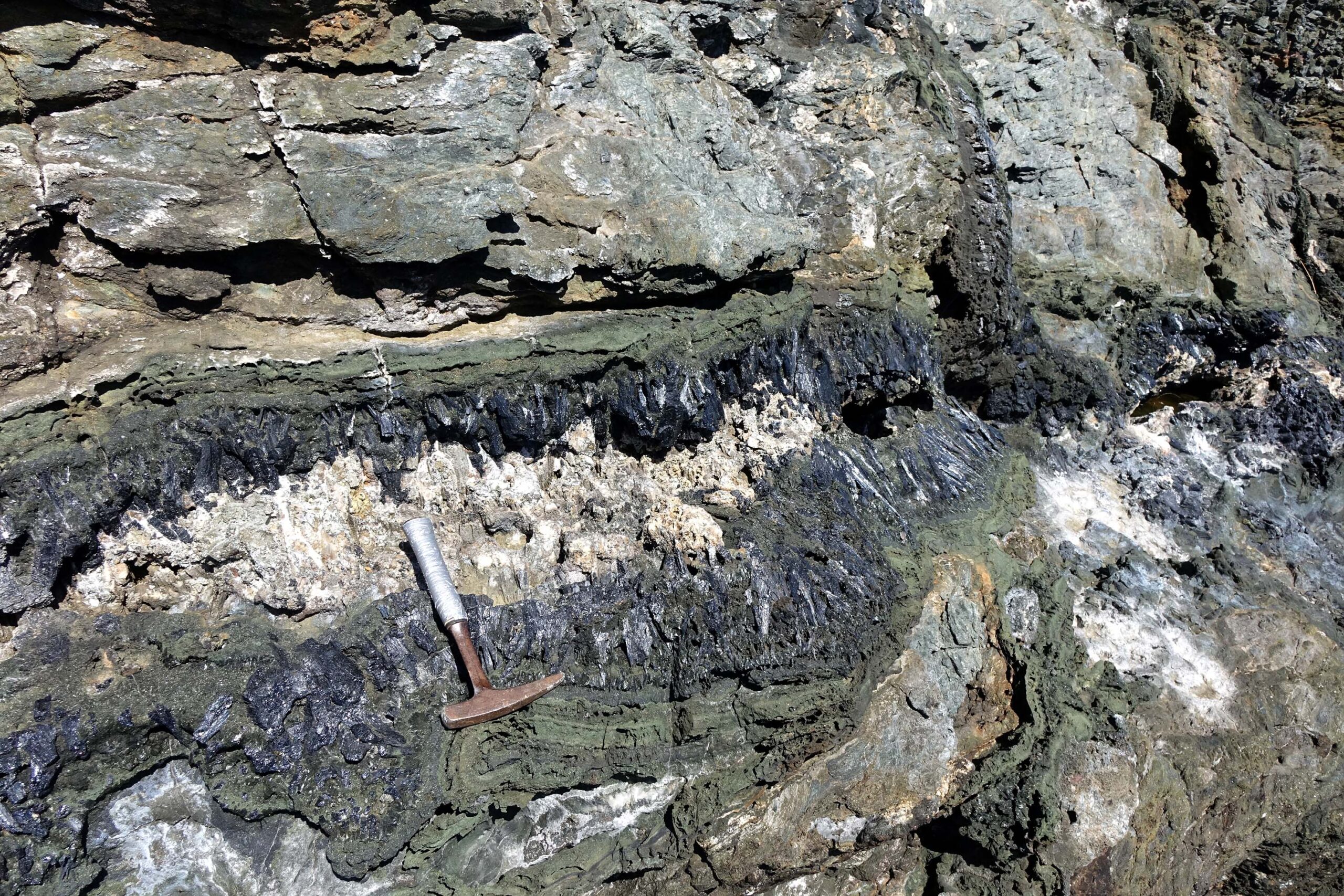
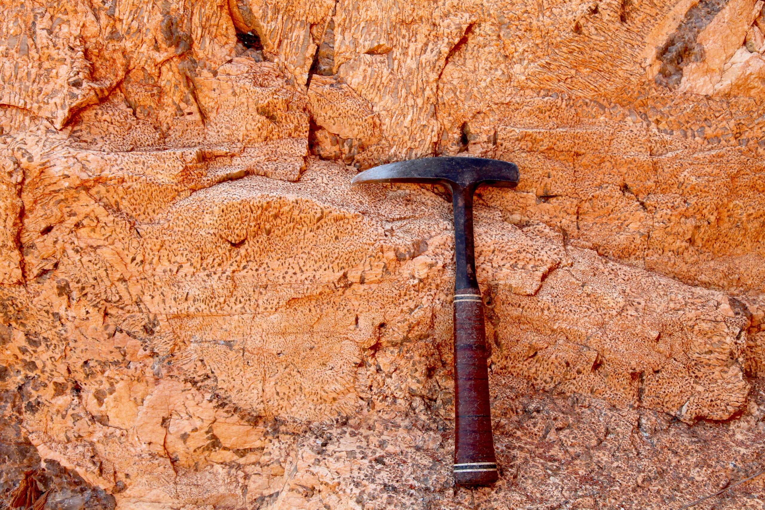
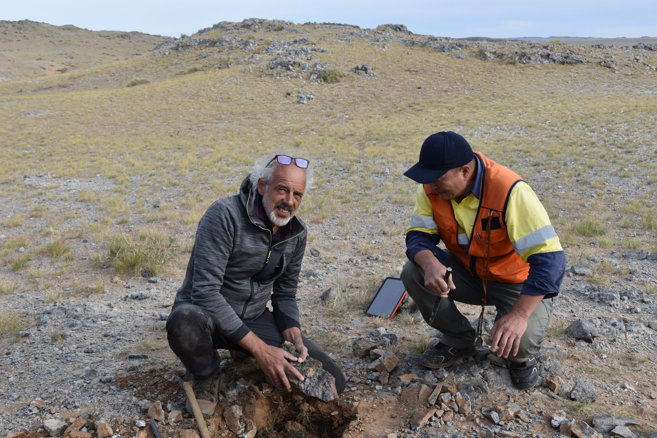
Nei basalti della Sicilia una nuova opportunità per lo stoccaggio
Una ricerca condotta dall’Istituto di Geoscienze e Georisorse del Consiglio nazionale delle ricerche (CNR-IGG), Carbfix e Università di Pisa ha…
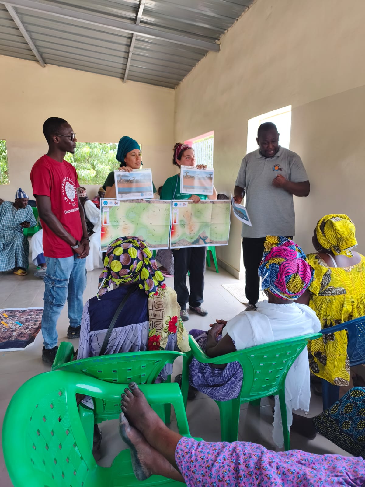
Ricerca partecipata sulla qualità delle acque sotterranee nelle comunità rurali
La ricerca funziona davvero quando esce dai laboratori e incontra le persone, i territori e le comunità. Nei giorni scorsi…

Il Museo Virtuale degli Ecosistemi al Demo Center di NBFC
Il Museo Virtuale degli Ecosistemi e degli Ambienti Naturali: un viaggio immersivo nella biodiversità al Demo Center NBFC di LecceTra…

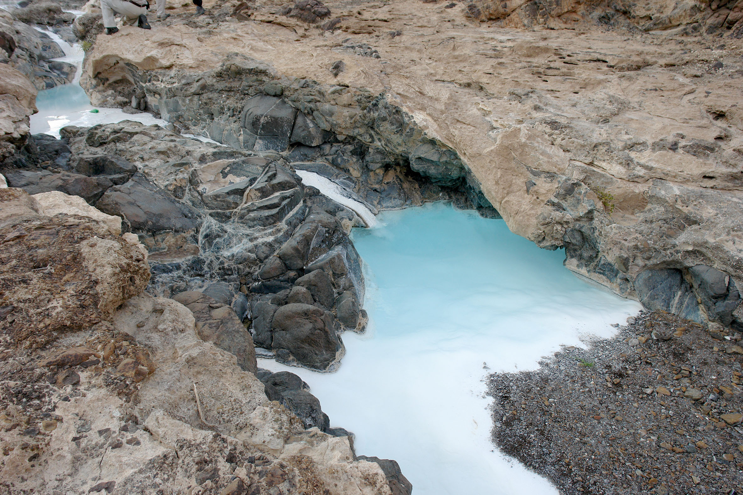
Riscoprire il bacino termale di Galzignano Terme
Lo scorso 27 maggio 2026 è stata inaugurata presso Galzignano Terme (Padova) la cosiddetta “area dei bacini”, a cura del…
Acqua dolce sotto il mare? Il progetto SWAMrisk monitora gli
Come rispondono gli acquiferi costieri ai cambiamenti climatici, alla siccità e all’intrusione marina? È questa una delle principali domande affrontate…
Al via il progetto europeo SHiFT sulla geotermia ‘Superhot’
È ufficialmente iniziato il 1° maggio 2026 il progetto europeo SHiFT (SuperHot geothermal – Integrated demonstration and Flow Testing), finanziato…

Il respiro della tundra: cosa governa i flussi di CO2
L’Artico si sta riscaldando a un ritmo molto più rapido rispetto al resto del pianeta, con conseguenze sempre più evidenti…